24 / 11 / 2019
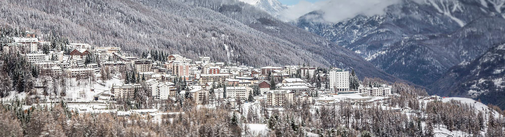
A snowy start to 19/20!
The month of November has been very kind to us with 2 fairly major weather systems coming in from the bay Genoa. These systems are generally excellent news for the southern alps and the Piedmont region.
The first weather front started around the 14th November and lasted a few days bringing with it an average of around 50cm of snow. In the following days, once the system had passed through, we did see temperatures increase which resulted in the snow melting in the lower parts of the valley.
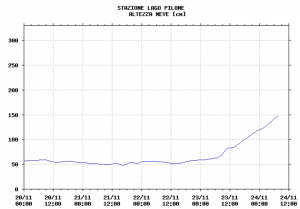
The latest system started on Friday, again the source of this depression was the bay of Genoa, just how we like it! We did see high winds initially and a fluctuating snow line which meant whilst it was mostly snowing in the village, we did also have a little rain. As I’m writing this though (Sunday morning) I can see lots of lovely white flakes falling from the sky. As you can see from the graph below we currently have 1.5 meters of snow recorded at the weather station just above Sportinia.
The week ahead looks changeable. We expect precipitation to continue until Monday afternoon. The snow line will increase again to around 1800mts overnight. Tuesday looks like scattered cloud before a smaller system comes in again on Wednesday when we could be waking up to more snow. Currently the snow line should be around 1500mts.
Fancy an early trip?
With all this fantastic snow it might be time to start thinking of coming over for a few days early season. The Sportinia and Rocce Nere lifts will be open daily from the 7th December – 20th December. The weekends will see the 2 lifts in the bowl open and then from the 21st December we’ll see the whole of the Vialattea open.
If you fancy coming over to play in all this fantastic snow and would like a little help, then please drop us a line via the contact us page and we’d be happy to help with accommodation, airport transfers & ski rental.